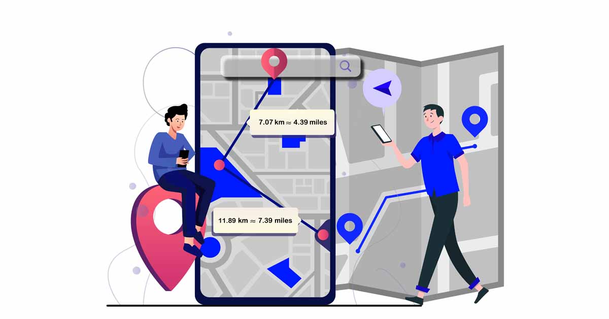
What does the draw a straight line on map tool do?
The draw a straight line on map tool is a tool that allows you to select two points on the map and draw a
straight line to calculate the distance between them. The draw a straight-line tool on onlinecompass.net allows
you to draw straight lines and calculates the distance between points in both kilometers and miles.
How to Draw a Line on the Map Using Our Tool
To draw a line on the map using our tool, follow these steps:
- Click on the initial point on the map. A red circle will appear at this location.
- Click on the destination point on the map. Our tool will draw a blue straight line between the two points
and display the distance in both kilometers and miles.

How to Draw Multiple Lines on the Map Using Our Tool?
To draw multiple lines on the map using our tool, follow the same steps as when drawing a single line, but click
on more than two points. Our tool will calculate the distance for each line you draw and provide the total
distance.
Can I Change the Destination Point While Drawing a Line on the Map?
If you have selected a destination point on the map but wish to change it, click on the trash can icon in the map
toolbar. This icon will remove the last point you drew on the map.
Can I Draw a Line on the Map from My Current Location?
Yes, to draw a line on the map from your current location, follow these steps:
- Set the "Location Services" button to ON. Your current location will be marked with a blue icon on the map.
- Click on the map where your location is indicated.
- Click on your destination point. Our tool will draw a straight line between your current location and the
destination point.
Can I Draw Lines on a Location Other Than My Current Location on the Map?
Yes, you can draw lines on a location other than your current location. To do this:
- Click on the search icon in the top right corner of the map.
- Enter the name of the desired area (such as a city, state, or country) and select your location from the
suggested results.
Can I Zoom In/Out on the Map to Draw a Line?
Yes, you can zoom in or out on the map to draw a line. To do this:
- Click the "+" button on the map toolbar to zoom in.
- Click the "-" button on the map toolbar to zoom out.
Can I Make the Map Full Screen to Draw a Line?
Yes, you can view the map in full screen by clicking the "View Fullscreen" button on the map toolbar.
When Do We Use the "Draw a Line on Map" Tool?
A straight line represents the shortest distance between two points on a flat surface. This principle, based on
Euclidean geometry, applies to flat, two-dimensional spaces. While real-world routes are rarely straight due to
factors such as terrain, road networks, and obstacles, drawing straight lines on maps can provide an initial
estimate of the distance between points.
