Why GPS Location Can Be Wrong Sometimes?
Global Positioning System technology is deeply integrated into daily life. From navigation apps and fitness trackers to aviation systems and emergency services, GPS plays a central role in how modern societies understand location and movement. Despite this importance, many users experience moments when their GPS position jumps, drifts, or shows an entirely incorrect place. These inaccuracies are not random. They are the result of complex scientific, environmental, and technical limitations that affect how satellite based positioning works in real world conditions. Understanding why GPS location can be wrong sometimes requires exploring how the system operates and what factors interfere with its precision.
How GPS Technology Determines Your Location
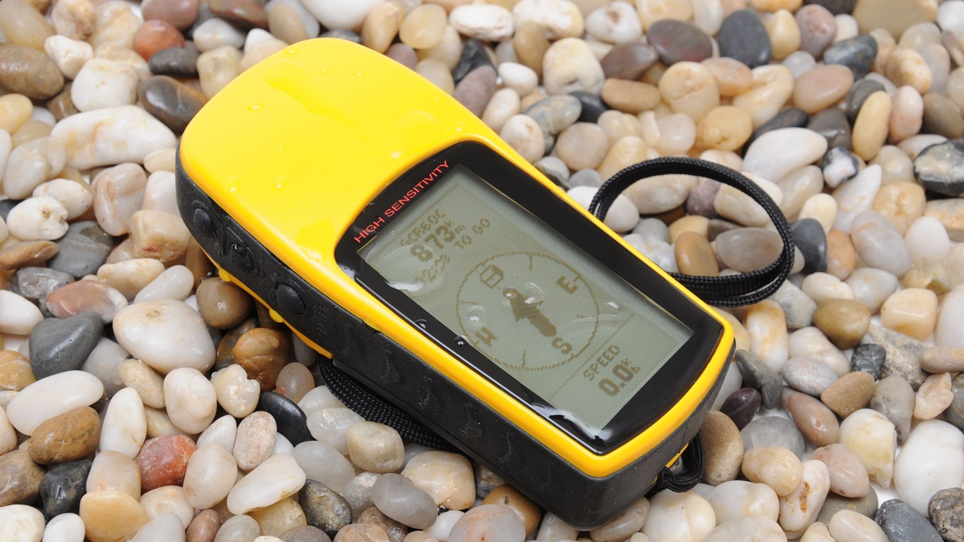
GPS technology determines your location by relying on a global network of GPS satellites orbiting the Earth in carefully planned paths known as a satellite constellation. Each satellite continuously broadcasts navigation signals that include precise timing information generated by onboard atomic clocks. When your device activates its receiver antenna, it listens for these signals and measures how long they take to travel from each satellite to the receiver. This process is based on signal transmission and signal timing, where distance measurement is calculated by multiplying signal travel time by the speed of light.
The core mathematical principle behind GPS positioning is trilateration, sometimes mistakenly called triangulation method. Trilateration uses distance measurement from multiple satellites rather than angles. To achieve an accurate position fix, your receiver typically needs signals from at least four GPS satellites. Three satellites allow for coordinate determination in three dimensional space, while the fourth corrects timing errors within the receiver clock. By comparing distances from multiple satellites, the system performs position calculation through complex signal processing algorithms.
Several factors influence location accuracy during this process. Satellite geometry refers to how satellites are distributed across the sky relative to the receiver. A wide spread of satellites improves location accuracy, while clustered satellites reduce it. Signal processing quality, receiver sensitivity, and the clarity of navigation signals also affect the final position fix. Even small timing errors can lead to large location offsets because signals travel vast distances at extremely high speed.
- GPS satellites transmit navigation signals continuously
- Receiver antenna captures signals and measures signal timing
- Distance measurement enables trilateration calculations
- Atomic clocks ensure high precision timing
- Satellite geometry influences final location accuracy
In ideal conditions, with clear skies and strong signals, GPS can achieve impressive precision. However, real world conditions rarely match laboratory assumptions. Signal timing distortions, environmental interference, and hardware limitations all contribute to inaccuracies that users experience in everyday navigation scenarios.
What Environmental Factors Cause GPS Errors?
Environmental factors play a significant role in reducing GPS accuracy. As navigation signals travel from satellites to Earth, they must pass through multiple atmospheric layers. The ionosphere and troposphere can cause atmospheric interference that slows signal propagation and alters timing. This signal delay introduces errors in distance measurement, which directly impacts position calculation. Variations in atmospheric density, water vapor, and temperature all influence how signals bend, a phenomenon known as signal refraction.
Weather conditions such as heavy rain, storms, and thick cloud cover can further degrade signal quality. While GPS signals are designed to penetrate clouds, extreme atmospheric distortion can still affect signal strength and reliability. Solar activity is another major contributor. During periods of intense solar flares or geomagnetic storms, electromagnetic interference increases, disrupting navigation signals and causing sudden positioning errors over large geographic areas.
Environmental obstacles on the ground also matter. Mountains, dense forests, and large bodies of water can block or reflect signals, preventing a clean line of sight between satellites and receivers. These obstacles force signals to take indirect paths, increasing the likelihood of inaccurate position fixes. In challenging environments, even a high quality receiver may struggle to maintain consistent accuracy.
- Ionosphere and troposphere cause signal delay
- Atmospheric layers bend and refract signals
- Solar activity increases electromagnetic interference
- Weather conditions affect signal propagation
- Environmental obstacles disrupt direct signal paths
Because environmental factors constantly change, GPS accuracy can vary from moment to moment. A location reading that appears correct one second may drift the next as atmospheric conditions shift or obstacles move into the signal path. This variability explains why GPS errors often seem unpredictable to everyday users.
How Buildings and Natural Obstacles Block GPS Signals
Buildings and natural obstacles are among the most common causes of GPS inaccuracies, especially in populated areas. The urban canyon effect occurs when tall buildings line streets closely together, limiting satellite visibility and obstructing the line of sight required for accurate positioning. Concrete structures, metal roofs, and glass facades act as physical barriers that weaken or completely block incoming signals. In such environments, the receiver may only detect signals from a limited number of satellites, reducing location accuracy.
Signal reflection is another major issue in cities. When navigation signals bounce off canyon walls, glass buildings, or metal surfaces, they create multipath effect errors. The receiver may interpret reflected signals as longer travel paths, resulting in false distance calculations. This causes the reported location to shift, sometimes placing users on parallel streets or inside nearby buildings rather than their true position.

Natural environments present similar challenges. Dense forests with thick tree canopy absorb and scatter signals, while mountainous terrain blocks satellite visibility altogether in certain directions. Tunnels, indoor environments, and underground spaces further amplify these problems by eliminating direct satellite connections. In all these cases, architectural interference and environmental barriers degrade signal reliability and accuracy.
- Urban canyon effect limits satellite visibility
- Tall buildings create signal obstruction
- Signal reflection leads to multipath effect
- Dense forests weaken navigation signals
- Mountains and tunnels block line of sight
GPS systems are fundamentally designed for open sky conditions. When obstacles dominate the surrounding environment, alternative positioning technologies or assisted systems become necessary to maintain usability.
Why Does GPS Fail Indoors or Underground?
GPS signals are weak radio waves that travel thousands of kilometers from satellites to Earth. These signals are designed for open sky reception, which becomes a major limitation indoors or underground. Building materials such as concrete walls, steel reinforcement, and metal roofs significantly attenuate or block signals, preventing receivers from obtaining the accurate timing information needed for a position fix. Even partial obstruction can introduce errors because GPS relies on precise signal timing for distance calculation.
Underground locations like basements, parking garages, and subway systems face similar issues. In these environments, satellite visibility is extremely limited, and signal penetration is often impossible. The absence of direct line of sight forces devices to rely on alternative methods such as Wi-Fi positioning, cellular triangulation, or inertial sensors. These methods provide lower accuracy because they are not designed to achieve the same precision as satellite-based systems.
Weak signal strength indoors or underground also increases the likelihood of multipath errors. Signals reflecting off walls, floors, and ceilings create confusing echoes that a receiver might interpret as additional satellites, producing false distances and misplacing the calculated location. GPS devices often switch to internal positioning systems or assisted GPS methods to compensate, but users may notice drifting locations or delayed updates in dense indoor environments.
- Building materials block or weaken GPS signals
- Underground locations limit satellite visibility
- Signal attenuation reduces position accuracy
- Multipath effects create false location readings
- Devices rely on Wi-Fi or cellular alternatives
Technical Issues That Reduce GPS Accuracy
Technical issues within the GPS system itself can also reduce accuracy. One common factor is geometric dilution of precision, or GDOP. This occurs when satellites are poorly distributed across the sky relative to the receiver, creating unfavorable satellite geometry. High GDOP values lead to larger potential errors in position calculation even if all signals are received clearly.
Clock errors and orbital errors further contribute to inaccuracies. GPS satellites carry atomic clocks, but even minimal deviations in clock synchronization or timing data can propagate into large positional errors. Ephemeris data, which contains satellite orbital information, may also contain minor inaccuracies that affect the position fix. Receiver quality, antenna performance, and firmware reliability play additional roles in determining final GPS accuracy.
Other technical limitations include signal noise, processing delays, and hardware constraints. Low signal-to-noise ratio makes it difficult for a receiver to distinguish satellite signals from background interference. Computational errors or delays in firmware can slow the response time for position calculation, creating a lag between real and reported locations. Together, these technical factors illustrate that even under optimal environmental conditions, GPS accuracy is not perfect.
- High GDOP reduces positional reliability
- Clock and orbital errors introduce timing discrepancies
- Ephemeris inaccuracies affect satellite location data
- Receiver and antenna limitations impact signal processing
- Signal noise and processing delays reduce accuracy
Understanding Multipath Errors in GPS
Multipath errors occur when GPS signals reflect off surrounding surfaces before reaching the receiver. Reflective surfaces such as glass buildings, metal structures, and water bodies create indirect signal paths. These bounced signals arrive later than the direct path signals, causing time delay errors and false distance measurements. The receiver may interpret these echoes as additional satellite signals, leading to duplicate or conflicting location information.
Urban environments are particularly prone to multipath errors due to the high density of reflective materials. Skyscrapers, glass facades, and vehicles all contribute to signal reflection. Even in natural environments, reflective water surfaces or rocky terrain can introduce multipath effects. These errors are difficult to eliminate entirely but can be mitigated with advanced signal processing algorithms, antenna design improvements, and software techniques aimed at distinguishing direct signals from reflected ones.
- Signals bounce off reflective surfaces creating delays
- Indirect paths distort distance calculations
- Duplicate or false signals confuse the receiver
- Urban and natural environments contribute to errors
- Mitigation requires specialized hardware and software
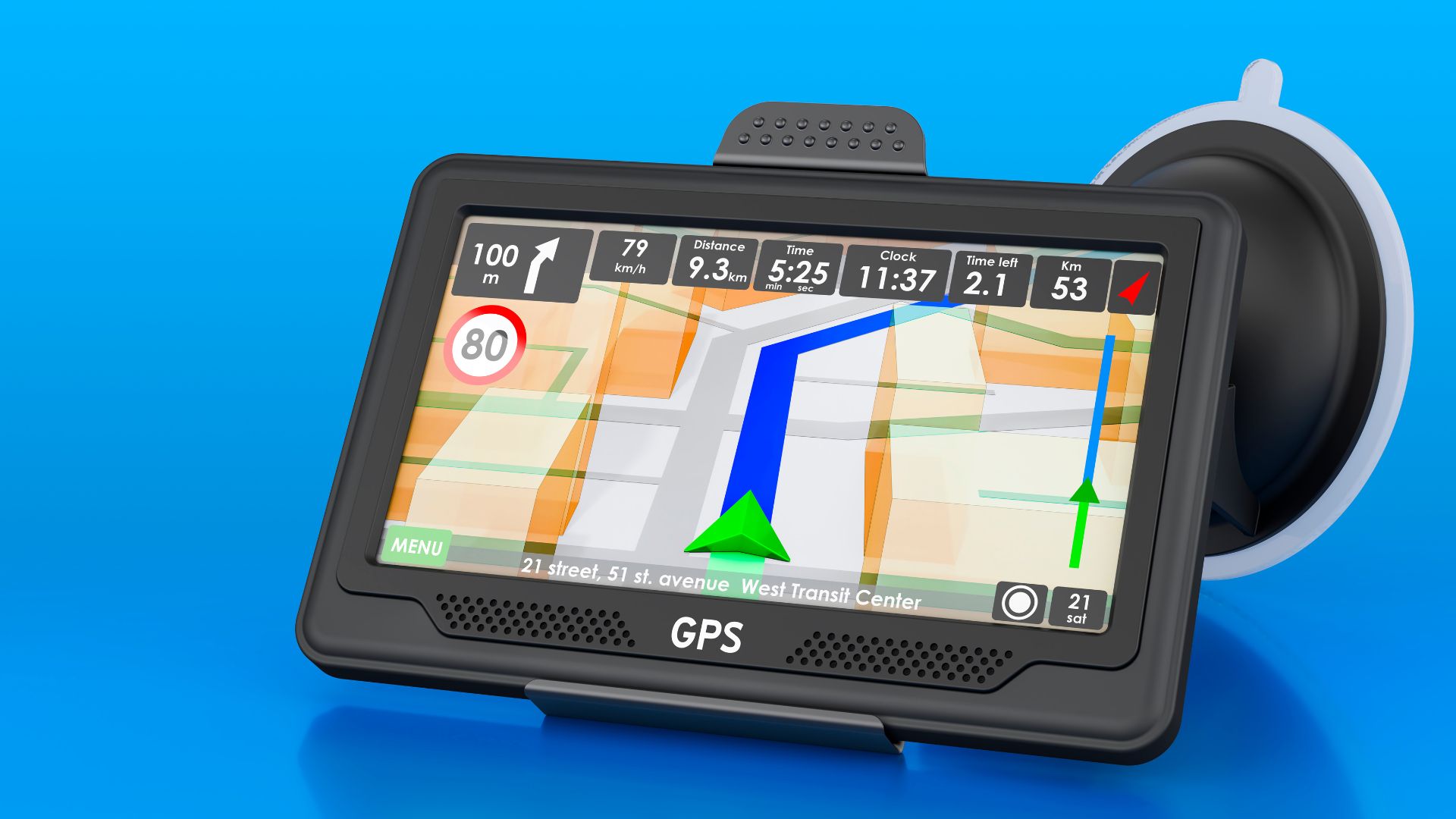
How to Improve GPS Accuracy on Your Device
Several strategies can enhance GPS accuracy on modern devices. Assisted GPS or A-GPS uses data from Wi-Fi networks, cellular towers, and location services to speed up satellite acquisition and reduce errors. High accuracy mode in device settings improves precision by combining GPS with other sensors and location data sources. Keeping the device in open areas with a clear sky view minimizes line-of-sight obstruction and multipath effects.
Device calibration also contributes to better positioning. Ensuring that location services are enabled and regularly refreshed allows the receiver to optimize signal processing. External augmentation systems such as WAAS and EGNOS provide corrections to satellite signals, reducing errors caused by atmospheric delays or orbital inaccuracies. In professional applications, external GPS receivers with higher quality antennas can significantly improve precision beyond standard consumer devices.
Other practical steps include avoiding indoor obstructions when acquiring a location fix, periodically restarting the GPS module to refresh satellite connections, and using software features that detect and correct multipath errors. With these measures, GPS accuracy can approach optimal levels, though environmental and technical limitations will always impose some degree of uncertainty.
- Use assisted GPS and high accuracy mode
- Keep device in open areas for better satellite visibility
- Enable location services and perform device calibration
- Rely on augmentation systems for corrected signals
- Consider external GPS receivers for high precision