What is the History of Compass?
Prepare for a captivating voyage spanning 2,500 years as we delve into the enthralling history of the compass, with its origins rooted in ancient China.
The Early Chinese Compass
Our journey commences during the Song Dynasty in China, from 960 to 1279 CE. Picture this: a thirteenth-century shipwreck discovery in Quanzhou, Fujian Province, 1973. What did it reveal? An ancient compass prototype filled with water, featuring a magnetic fish that dutifully pointed its nose south and tail steadfastly north.
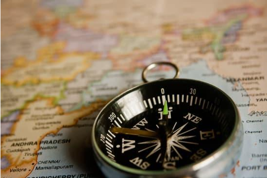
Navigating Before the Compass
Before the compass came along, maritime navigation was nothing short of a daunting adventure. Mariners stuck close to coastlines, their guiding stars being visible landmarks amidst perilous waters.
The Art of Natural Navigation
Brave sailors of yore relied on nature's cues. The sun, stars, and shadows were their guiding lights. Dawn and dusk unveiled east and west, while the midday shadows whispered secrets of north and south. Enter celestial navigation, an intricate dance with celestial bodies above the horizon that expanded the horizons of sea voyages.
Celestial Navigation's Influence
Celestial navigation wasn't just a celestial affair. It opened up trade routes dating back to 2500 BCE, allowing trading ships to journey between Crete and Egypt. Phoenician traders set foot on the shores of southwest England around the seventh century BCE.
Polynesian navigators? They charted courses over 2,000 miles, landing in Hawaii between the fourth and fifth centuries CE. And those adventurous Viking explorers? They're thought to have reached North America in the tenth century CE.
The Compass Revolution: Charting New Horizons with Ancient Chinese Ingenuity
Take a captivating voyage back in time to ancient China, where the compass was born, forever altering the course of navigation and exploration.
Magnetized Marvels
Around the fourth century BCE, inquisitive minds in China began to unlock the mysteries of lodestone, a naturally magnetized form of magnetite. These magical magnets, when set free from earthly forces, gracefully aligned themselves with Earth's magnetic field, forever pointing the way to the magnetic poles.
Beyond Mysticism
At first, the Chinese were captivated by the mystical allure of magnetism. Lodestones found their place in divination and fortune-telling, where they played a starring role in ancient Chinese practices.
The First Compass
Fast forward to around 200 BCE, and we witness the debut of the compass in China. However, it wasn't quite the nautical marvel we recognize today. Meet the "diviner's board," an early compass not designed for navigation but rather for spiritual pursuits.
Its "needle" was no ordinary one; it took the form of a spoon-shaped lodestone resting on a bronze plate adorned with cardinal directions, trigrams from the I Ching, and twenty-four lunar "houses" aligned with equatorial constellations. In the center, the iconic Big Dipper often made an appearance alongside the trusty lodestone.
The South-Seeking Spoon
Here's where it gets intriguing—the handle of the lodestone consistently pointed south, while the bowl of the "spoon" had a firm allegiance to the north. Hence, its name: the "south-pointing needle." The disk symbolized heaven, while the square board embodied Earth.

Feng Shui Marvels
As time marched on, these compasses evolved into what we now know as luopans, indispensable tools in traditional feng shui practices. Sporting needles that unfailingly sought magnetic south, they boasted intricate markings for twenty-four directions and concentric rings adorned with feng shui wisdom.
Interpreting the patterns and alignments unveiled by lodestones, diviners believed they could foresee shifts in fortune, pick auspicious moments, choose planting seasons, uncover precious gem troves, and even design harmonious architectural layouts for structures like homes, temples, and resting places.
Unveiling China's Compass Advancements: Navigating the Past with Iron and Innovation
Join us as we journey through time to explore how China's compass technology evolved, reshaping the course of navigation and exploration.
The Iron Needle Emerges
Ancient records whisper about a transition from lodestone-based compasses (think of the diviner's board) to a pivotal invention: iron needles. These slender needles found their magnetic mojo by a rubdown with a trusty lodestone. This breakthrough marked a monumental step toward crafting a practical and reliable navigation tool.
Needle Magnetization Unveiled
Picture this—back in 1088, Shen Kuo unveiled the secrets of magnetizing direction-finding needles in his "Dream Pool Essays." This revelation reflected the growing knowledge of magnetism during this era.
Navigating the High Seas
Fast forward to the early eleventh century CE, and we find the compass's role expanding in maritime exploits. Song-era historian Zhu Yu, in his "Pingzhou Table Talks," unveiled the fusion of compass navigation, celestial guidance, and landmark spotting by mariners. Compass use on the high seas had become standard practice by this point.
Early Compass Quirks
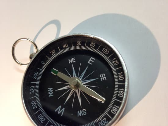
Let's not forget, though, that early compasses, including the wet compass, had their quirks. These wet wonders featured wooden or cork components that gamely bobbed in water, making readings a tad tricky. Leaks were an all-too-common woe, and repairs were no breeze. While they had their moments, wet compasses had their fair share of hiccups.
Enter the Dry Compass
In response to these challenges, Chinese innovators unveiled the dry compass in the early twelfth century—a good two centuries before Europe caught on. This game-changer brought a slew of advantages over its predecessors, marking yet another giant leap in compass technology.
Compass: Charting New Horizons in Chinese Exploration
Take a voyage with us through the incredible impact of the compass on Chinese navigation—a technology that transformed the seascape!
Opening New Horizons
With the trusty compass by their side, Chinese mariners set sail to distant lands. Armed with newfound precision and confidence, they ventured far beyond their home shores, opening up a world of exploration and trade.
Bridging Trade and Ties
Compass-guided journeys paved the way for flourishing trade and communication with foreign ports, stretching as far as Saudi Arabia. This bridge between nations sparked the exchange of goods and ideas, contributing to the expansion of sea routes linked to the Silk Road.
Silk Road Unfurled
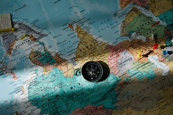
The famed Silk Road, a web of trade routes linking Asia, the Middle East, Africa, and Southern Europe, owes its name to China's prized silk—a star player in the trade game. The compass played a key role in broadening and extending maritime routes connected to this ancient trade network.
Knowledge Spreads Its Wings
As Chinese vessels docked at various ports worldwide, compass know-how transcended China's borders. It wasn't just physical goods journeying the Silk Road; ideas, philosophies, religions, and innovations, including the compass, embarked on intercontinental odysseys.
Influence on "Great Inventions"
The Silk Road isn't just famous for merchandise; it's also a launchpad for China's "Great Inventions" like papermaking, printing, and gunpowder, which left an indelible mark on global history.
Compass Knows No Bounds
The compass's journey to Europe and the Muslim world remains a historical enigma. Experts suggest a blend of factors, from the Silk Road's sway to the travels of Western Crusaders and pilgrims, and China's bustling maritime trade, contributed to the compass's debut on the world stage. Remarkably, the first Western mention of the compass, around 1190 CE, sprang from the pen of English scholar and abbot Alexander Neckam, about eighty years after its initial documented use in China.
The Compass: Guiding Light Across Continents
Journey with us through the captivating tale of how the compass found its way into the hearts and hands of people worldwide!
A Compass for All
As the thirteenth century dawned, compasses became the globe's new must-have item. Whether in Europe, India, the Muslim world, or parts of eastern Africa, magnetized needles dancing in water-filled bowls were all the rage. What's intriguing is how these early compasses closely mirrored their Chinese ancestors, highlighting a remarkable case of innovation adoption.
European Seafaring
Europe hailed the compass as a game-changer for maritime adventures. It granted European sailors the power to navigate masterfully from the Mediterranean to Northern Europe and even as far as the English Channel. This newfound prowess unlocked the potential for longer sea voyages and brought diverse regions closer together.
Setting Sail with the Muslims
The Muslim world wholeheartedly embraced the compass, especially among mariners navigating the Red Sea and the Persian Gulf. This widespread adoption expanded their horizons, enabling sea journeys across various seasons and weather conditions.
Trade, Culture, and Connections
Compass technology didn't just point the way; it guided global interactions. European nations, in particular, saw the compass as a strategic tool for gaining military and economic advantages over rivals. This drive ushered in an era of heightened exploration and territorial expansion.
The Age of Discovery
The compass took center stage during the Age of Discovery (fifteenth to eighteenth centuries), setting the scene for extraordinary endeavors. Nations like England, Spain, Portugal, and the Netherlands embarked on grand explorations, charting uncharted waters, establishing colonies, amassing wealth, and confronting high-seas conflicts.
Trade Winds of Opportunity
Compass-guided exploration revealed new routes to the Far East, opening doors to trade in coveted treasures like spices, tea, and silk. Spanish conquistadors set forth to unveil the natural wonders of Central and South America.
Refining the Art
Recognizing the compass's pivotal role at sea, European nations, especially the English, poured effort into perfecting compass technology. These innovations fine-tuned navigation, making it more precise and dependable.
Compass Evolution in Europe: A Journey Through Time
Let's embark on a fascinating voyage through the evolution of European compass technology, where innovations charted the course for modern navigation!
Early European Compasses
Picture early European compasses as bowls filled with water, cradling a magnetized needle pivoting at the bowl's base. Initially, they pointed just north and south, simplifying direction finding.
Expanding Directions
As time sailed on, European compasses underwent transformations. A card beneath the needle appeared, revealing thirty-two directions. These encompassed the four cardinal points (north, south, east, and west) and twenty-eight inter-cardinal ones (like north-by-west or west-northwest). As ships altered course, the card twirled while the needle stayed true to the north, offering mariners a quick and accurate reference.
Enter the Dry Compass
Much like their Chinese counterparts, Europeans sought solutions for the limitations of wet compasses—bulky, leak-prone, with fragile pivots. Dry card compasses addressed these issues. They suspended the needle above the compass card, allowing it to pivot freely on a pin. Housed in gimbals, this design let the compass swing smoothly while remaining level, undisturbed by the ship's motion.
Modern Compasses
Today's compasses come in diverse types with advanced features. Lightweight and portable, they house magnetized needles or dials sealed within liquid-filled cases. The liquid steadies the needle, ensuring swift and accurate direction readings.
Online Compass
Online compasses are a new type of compass that uses GPS to determine your location and then calculates the direction you are facing. They are often more accurate than traditional compasses, and they can be used anywhere in the world.
To use an online compass, simply open the website or app and point your device in the direction you want to go. The compass will then display your current direction and the distance to your destination.
Online compasses are a great way to navigate when you are hiking, camping, or traveling. They are also a useful tool for pilots and sailors.
Orienteering Compasses
Crafted for land adventures, orienteering compasses often include a box to align the needle with magnetic north. They feature orienting lines, a direction indicator, and a transparent base for easy map reading. An outer dial displays degree markings, while some boast sights for aligning with distant landmarks.
Mariners' Compasses
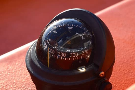
Shipboard compasses, typically mounted in cylindrical binnacles, resist the magnetic pull of a vessel's metal. A lubber line on the compass bowl indicates the ship's heading on the card. Illumination from within the binnacle enhances visibility.
Airplane Compasses
Airplanes rely on compasses resembling those aboard ships, known as gyromagnetic compasses. These compasses are encased in a binnacle that compensates for the aircraft's metallic structure. They also incorporate gyroscopes with unchanging spin axes to maintain compass accuracy during flight, even when direction changes occur.
The Compass and GPS
The magnetic compass not only revolutionized navigation but also laid the groundwork for the modern marvel that is the Global Positioning System (GPS). GPS leverages satellite-based radio navigation, allowing GPS receivers in devices like smartphones, dedicated GPS units, and vehicles to pinpoint their locations nearly anywhere on Earth.
These receivers communicate with at least four GPS satellites, each beaming location and time data. Consequently, GPS receivers calculate their positions relative to these satellites, delivering precise latitude, longitude, and height coordinates, often with pinpoint accuracy down to about 1 foot (30 cm).