How GPS Accuracy Differs in Cities vs Rural Areas?
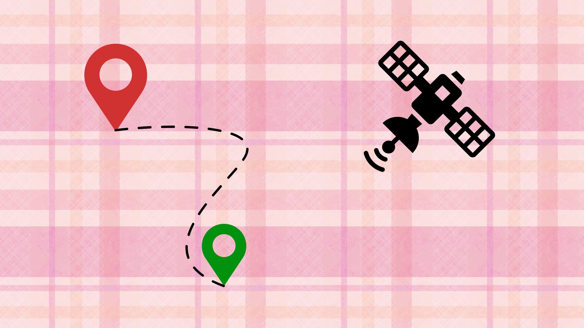
GPS accuracy refers to how closely a reported location matches the actual position of a device on the Earth. This accuracy depends on how well a phone or GPS receiver can receive and process signals from GPS satellites orbiting the planet. These satellites form a satellite constellation that continuously transmits timing and positioning data. A GPS receiver calculates its location by measuring the time it takes for signals to travel from multiple satellites, using triangulation to determine coordinates.
Signal reception is critical in this process. The receiver needs a clear line-of-sight to several satellites to reduce positioning error. Satellite visibility directly affects meter accuracy and coordinate precision. When signals are strong and unobstructed, baseline accuracy can reach a few meters under optimal conditions. Accuracy metrics are influenced by receiver quality, signal strength, and environmental conditions surrounding the device.
Position accuracy also depends on how satellites are arranged in the sky at a given moment. Poor satellite geometry can lead to reduced accuracy even in open areas. A reliable location fix requires consistent signal reception and accurate signal processing. Environmental conditions such as buildings, trees, and terrain can interfere with signals, increasing error. Understanding these fundamentals helps explain why GPS performs differently in cities compared to rural areas. GPS accuracy is not static but changes continuously based on surroundings, satellite availability, and device capabilities.
Why GPS Performance Struggles in Urban Environments
Urban environments present significant challenges for GPS accuracy due to dense architecture and vertical obstacles. The urban canyon effect occurs in downtown areas where tall buildings and skyscrapers surround streets, blocking direct satellite signals. Concrete jungle landscapes with glass facades and metal structures create complex signal obstruction patterns. Many satellites become partially or completely blocked, reducing satellite visibility and weakening signal reception.
Signal reflection is another major issue. When GPS signals bounce off high-rise buildings, glass surfaces, and metal structures, the receiver may pick up delayed or indirect signals. This leads to multipath error, where reflected signals arrive later than direct ones and confuse distance calculations. Metropolitan centers with dense architecture amplify these problems, making positioning less reliable.
Downtown areas often experience signal interference from electronic devices and infrastructure, further degrading accuracy. Vertical obstacles prevent the receiver from seeing a wide portion of the sky, limiting the number of satellites available for triangulation. As a result, GPS accuracy in cities can fluctuate significantly, sometimes shifting positions by several meters or more. These architectural barriers explain why navigation apps may show drifting or jumping locations when used in dense urban settings.
The Multipath Problem in City Centers
The multipath problem is one of the most significant causes of GPS accuracy degradation in city centers. Signal bouncing occurs when GPS signals reflect off buildings instead of traveling directly to the receiver. These reflected signals follow indirect paths, arriving later than direct signals and creating false readings. Time delay introduced by signal echoes leads to distance calculation errors.
Reflective surfaces such as glass buildings and metal facades are especially problematic. Duplicate signals with different arrival times confuse the receiver, resulting in positioning errors. Signal distortion caused by urban interference affects satellite geometry and increases geometric dilution, reducing overall accuracy. Measurement confusion becomes more severe in areas with narrow streets and tall structures on both sides.
Multipath interference does not usually block GPS entirely but reduces precision and stability. The receiver may alternate between different reflected signals, causing location jumps. Understanding this phenomenon explains why GPS accuracy degrades most noticeably in dense city centers compared to open environments.

What Makes GPS More Accurate in Rural Areas?
Rural areas generally provide more favorable conditions for GPS accuracy due to open sky and unobstructed views. In countryside locations, farmland, and open terrain, GPS receivers enjoy a clear horizon with minimal interference. Satellite visibility is high, allowing the receiver to track more satellites simultaneously. Direct signals dominate, reducing the risk of multipath interference.
Clear line-of-sight conditions allow optimal reception and superior accuracy. Fewer obstacles mean signal clarity is high, and the receiver can perform triangulation more effectively. Natural landscapes with low building density create ideal conditions for GPS operation. Reduced multipath and minimal signal reflection contribute to consistent and stable location fixes.
Environmental advantages in rural settings include fewer electronic interference sources and less signal blockage. As a result, GPS accuracy in rural areas often reaches its best possible performance. Navigation, mapping, and tracking applications benefit from these conditions, providing reliable positioning for outdoor activities and transportation. This contrast highlights why GPS typically performs better outside cities.
How Terrain and Natural Features Affect Rural GPS
Although rural areas generally offer better GPS accuracy, natural terrain can still introduce challenges. Mountain valleys and canyon walls can block parts of the sky, limiting satellite visibility. Elevation changes and hillsides create shadowed areas where signals are partially obstructed. Gorges and cliff faces can reflect signals, introducing limited multipath effects similar to urban environments.
Dense forests and wooded regions present another challenge. Tree canopy and vegetation density can weaken signals through absorption and scattering. Valley bottoms may experience reduced satellite coverage due to surrounding terrain. Natural obstacles such as hills and forested areas affect signal reception differently depending on location and season.
Topographical variations influence GPS performance by altering line-of-sight conditions. While rural GPS accuracy is generally higher, geographic challenges remind users that open terrain does not always guarantee perfect accuracy. Understanding how natural features affect signal behavior helps set realistic expectations for GPS use in outdoor and wilderness settings.
GPS Challenges in Dense Forest Areas
Dense forest areas introduce a unique set of challenges for GPS accuracy that differ from both urban and open rural environments. The primary issue comes from tree cover and foliage interference. Thick canopy density created by overlapping branches and leaves weakens satellite signals before they reach the receiver. GPS signals are radio waves that lose strength as they pass through physical matter, and overhead vegetation causes signal attenuation that reduces accuracy.
Leaf obstruction plays a significant role, especially in deciduous forests where seasonal variations change signal conditions throughout the year. During spring and summer, full leaf coverage absorbs and scatters signals more strongly, while winter conditions in the same forest may allow better reception. Coniferous forests with year round needle coverage create consistent overhead vegetation that limits satellite visibility. Signal absorption increases when moisture is present, such as after rain, further weakening reception.

On the forest floor, GPS receivers often struggle to maintain a stable location fix. Woodland navigation becomes more difficult because fewer satellites are visible through gaps in the canopy. Reduced satellite visibility leads to less reliable triangulation and increased positioning error. Signal weakening may cause location updates to lag behind actual movement, affecting hiking, surveying, and wildlife tracking activities.
Wilderness areas with thick canopy present challenges even for high quality receivers. While GPS rarely stops working entirely, accuracy may degrade from a few meters to tens of meters. Vegetation impact varies by forest density, tree height, and terrain slope. Understanding these limitations helps outdoor users plan routes and use complementary navigation tools. Dense forests demonstrate that even in rural environments, GPS accuracy depends heavily on local conditions rather than just distance from cities.
Technologies That Improve GPS in Both Environments
Modern positioning technologies significantly improve GPS accuracy in both urban and rural environments by addressing signal limitations. Assisted GPS or A GPS uses cellular data to provide satellite information to the receiver, reducing the time needed to acquire a location fix. This approach is particularly useful in cities where satellite visibility is limited and indoors where signals are weak. Cellular triangulation supplements satellite data by estimating position based on nearby cell towers.
Wi Fi positioning enhances accuracy in metropolitan areas by using known Wi Fi access points to estimate location. Multi GNSS support allows devices to receive signals from multiple satellite systems such as GLONASS, Galileo, and BeiDou. Access to more satellites improves geometry and reduces error in both cities and countryside locations. Augmentation systems like WAAS provide correction data that improves accuracy over wide regions.
Differential GPS and correction services reduce errors by comparing known reference points with satellite data. Sensor fusion combines GPS with inertial sensors such as accelerometers and gyroscopes to smooth movement and maintain accuracy when signals drop. Hybrid positioning systems dynamically switch between data sources depending on environment. RTK GPS offers centimeter level accuracy for specialized applications, though it requires additional infrastructure.
These technologies work together to overcome obstacles caused by buildings, trees, and terrain. Accuracy enhancement is achieved not by relying on a single system but by integrating multiple data sources. As a result, modern devices maintain reliable positioning across diverse environments, narrowing the performance gap between cities and rural areas.